Sunda Strait Tsunami
For Aid Organizations
Map and Data Services

About OpenStreetMap
OpenStreetMap offers an online map (and spatial database) which is updated by the minute. Various tools and services allow data extracts for GIS specialists, Routable Garmin GPS data, Smartphone GPS navigation, and other device-compatible downloads. With an internet connection, regular syncing is possible with open access to the community contributed data as it comes in, with OpenStreetMap's bulk data downloads ideal for use offline. In addition, maps can also be printed to paper.
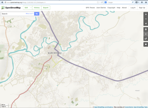
Browse the Activation Area to get a feel for the data that is currently available. Different map styles including an Humanitarian style can be selected on the right side, and some data may not render (appear) on the map, but could be exported from the underlying database (See export section below).
Paper Maps
Poster size Maps and normal sized paper atlases of custom areas can be printed:
- FieldPapers Paper Maps with grid for field survey or general navigation purposes,
- OSM_on_Paper has many options for printing OSM based maps
Exporting OpenStreetMap data
See Downloading data for instructions on getting large scale map data. See Shapefiles if you need this format to export to GIS tools.
- Many regularly updated datasets in a variety of formats are available on HDX.
- You can also generate custom exports using the HOT Export Tool
With the availibility of Small communication devices, Navigation Offline data proves to be very useful to the humanitarians deployed in foreign countries. We support the humanitarian NGO's using navigation data and invite them to give us feedback on the utilization of these devices in the context of field deployment.
- There is a way to use OSM for navigation on almost any device, see Routing for an overview
Usage of OSM data for Humanitarian Missions
About This Activation
About HOT

- To learn more about the Humanitarian OpenStreetMap Team (HOT), explore more of our wiki-pages (root: HOT) or our website hotosm.org. We are a global community of mostly volunteers, we are also a US Nonprofit able to contract with organizations (email info at hotosm.org to contact our staff), we are also a 501-c-3 charitable organization.
History of this Activation
Reactivity of the OSM Community
- December 23 - almost immediately members of HOT Indonesia were aware of the disaster and shortly after made contact with local response agencies. Contact was also made with HOT Activation Working Group and incident size-up began.
- December 24 - priorities from response agencies were received and mapping projects created to fill gaps in the road network and map buildings in the tsunami impacted areas. Existing Missing Maps project identified and promoted for completion as there was significant overlap.
Effort made
- December 28: 134 mappers, 48000+ buildings, 350+ kilometers of road
- December 30: 60,000+ features added to the map
- February 10, 2019: 496 mappers, 173,000+ buildings, 1500+ kilometers of road (source)
For Mappers
- Response has concluded, thank you!
How You Can Contribute

Learn to Map
- Most of our volunteer needs are for remote OSM contributors, visit LearnOSM.org to get started.
- Indonesia specific tagging guidance can be found at WikiProject_Indonesia
Mapping Priority
- Please choose from highest priority first
- Experienced mappers are also asked to participate in validating completed tasks. Information on validating can be found here
| Project No. | Priority | Location | What to map | Imagery Source | Task Mapping Status | Task Validation Status |
|---|---|---|---|---|---|---|
| Indonesia Tasking Manager | ||||||
| Project 361 | Validation | Sunda Strait | Buildings & Roads | Bing | AOI Complete (99%) | AOI Complete (98%) |
| HOT Tasking Manager | ||||||
| Project 4983 | Validation | Java | Buildings | Bing | AOI Complete (99%) | AOI Complete (61%) |
