Tag:industrial=trucking
Jump to navigation
Jump to search
| Description |
|---|
| A trucking company |
| Group: industrial |
| Used on these elements |
| Requires |
| Useful combination |
|
| Status: in use |
| Tools for this tag |
|
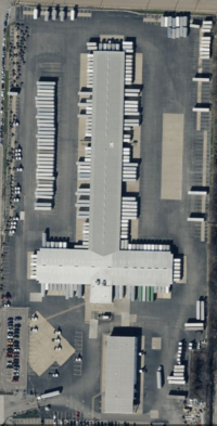
A trucking yard is an industrial facility where a trucking company parks & maintains their trucks, as well as (usually) operates smaller warehouses for temporary storage of transloading/interchange with other companies. Usually close to motorway exits.
How to map
Draw an area ![]() around the grounds of the trucking yard or place a node
around the grounds of the trucking yard or place a node ![]() at the centre of the grounds.
at the centre of the grounds.
Add
Example
| Photo | Tagging | OSM Carto | Note |
|---|---|---|---|
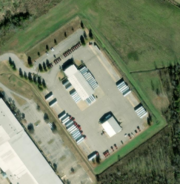
|
industrial=trucking name=Averitt Express - Tupelo operator=Averitt Express, Inc. website=https://www.averitt.com/locations/mississippi/tupelo |
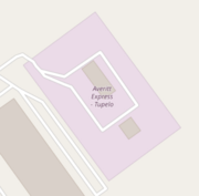
|
A trucking company tagging example |
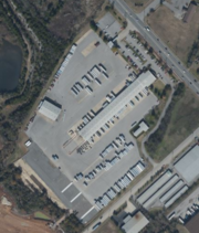
|
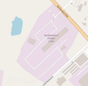
industrial=trucking name=Southeastern Freight Lines |
|
Another trucking company tagging example |
