Tag:port=fishing
Jump to navigation
Jump to search
 |
| Description |
|---|
| Fishing port |
| Group: landuse |
| Used on these elements |
| Status: in use |
| Tools for this tag |
A fishing port is a port or harbour for landing and distributing fish.
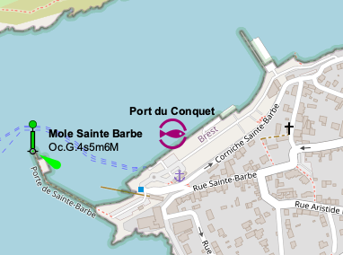
Example fishing port
landuse=industrial- +
industrial=port - +
port=fishing - +
seamark:type=harbour - +
seamark:harbour:category=fishing - +
seamark:name=* - +
name=*
Alternative tagging on a node
If the port area cannot be clearly specified, only one node should be set. Since the key landuse cannot be applied to a node, one should use harbour=yes and the seamark tags instead.
Maps
click to open the map