Talk:Redding, California
Downtown Street Tree Import
Several years ago, the City of Redding hired Dudek to inventory downtown street trees and create a management plan. The results can be seen here. I have contacted Dudek who is working on getting permission for me to use this data. You can see the data is fairly precise. I intend to verify the existence of trees in construction areas and whose health was determined to be failing at the time of the survey. I will post the dataset here when I receive it. Before importing I will attach the species:wikidata and other relevant information to the objects.
Storm Drain Import
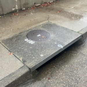
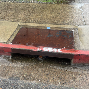
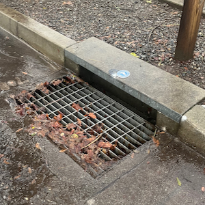
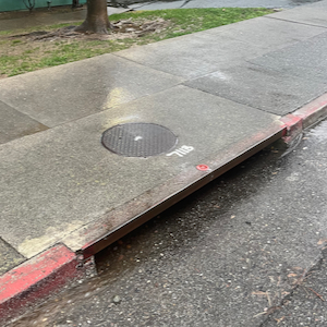
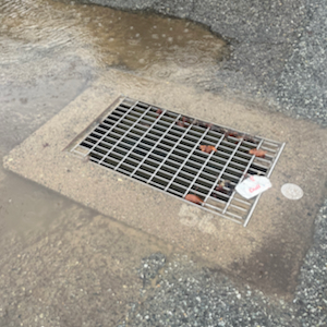
The city has made availablw a data set of all stormwater inlets in the city limit at this page. I have reviewed the data and come to an acceptable understanding of what each key means. I intend to import the data after transforming the city's data set into a format acceptable by openstreetmap. See below for a table of feature transformations:
| Catch_Basin_Type | Image |
|---|---|
| 3 | |
| 3_MODIFIED | |
| 4 | |
| 5 | |
| AD |
| Type in dataset | Tags |
|---|---|
| AD or GDO or RAISED_AD or BRIDGE_DRAIN | man_made=manhole
|
| 2 or 4 (+modified) | man_made=manhole
|
| 3 or 5 | man_made=manhole
|
| JB | man_made=manhole
|
| TEEPEE | man_made=manhole
|
| PIPE_INLET | man_made=pipeline
|
All data points will also be tagged according to owner (both plain text and wikidata): City of Redding, Shasta County, or CalTrans.
The ref data will be populated with the 5 digit SYS_ID.
