UK 24 hour mapathons/Jun 2019 Milton Keynes South
The June 2019 24-hour mapathon occurred on Wednesday 12 June 2019. It focused on the region of Milton Keynes South.
Location boundary
The location centres on map
Milton Keynes South is one of the Parliamentary Constituencies in the United Kingdom. The boundaries are on the ONS geospatial portal....are they on OSM?
The area is the southern half of 172504![]() 172504 consisting the urban area of Milton Keynes itself and not including Newport Pagnell.
172504 consisting the urban area of Milton Keynes itself and not including Newport Pagnell.
Assessment of the quality/quantity of street-level imagery


First and foremost Google StreetView is *not* an option.
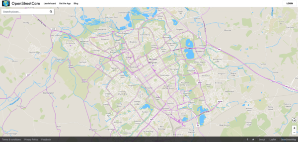
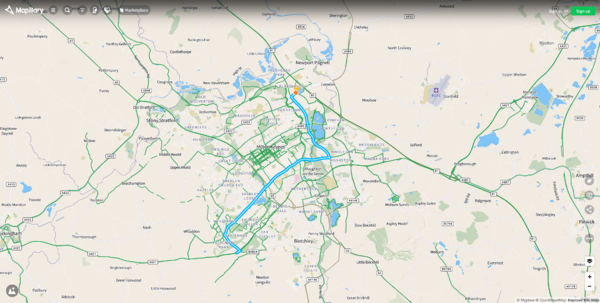
OSMUK have trialled both OpenStreetCam and Mapillary for the creation of street-level imagery using a 3D camera and a dashcam. Mapillary favours a dashcam which makes it useful for turn restrictions, etc. but less-so for shops, as there is no side-view. OpenStreetCam uses both 3D and in-front images.
The main roads are fairly well covered in OpenStreetCam. Of course there are many residential roads that would take considerable effort to film.
There is a fair amount of 2D imaging, including some from CycleStreets https://www.mapillary.com/app/?lat=52.04688267577578&lng=-0.7417496131131132&z=17&focus=photo&pKey=hA7Dt7ZeGV5KU3nYK0dmSw&x=0.5167717477434142&y=0.6292383861583881&zoom=0
Places of interest
- It seems highly fitting that this area almost centres on Bletchley Park.
- 3067646
 3067646 is The Open University
Food Hygiene Rating System (FHRS) matching
The UK Food Hygiene Rating System data is matched at 69% https://gregrs.dev.openstreetmap.org/fhrs/district-312.html leaving little for an armchair mapper to improve.
QA Tool Direct Links
OSMWiki
- is current page content working (map, etc.)?
- what does the wiki say about this/these places?
- what could be improved?...and do so.