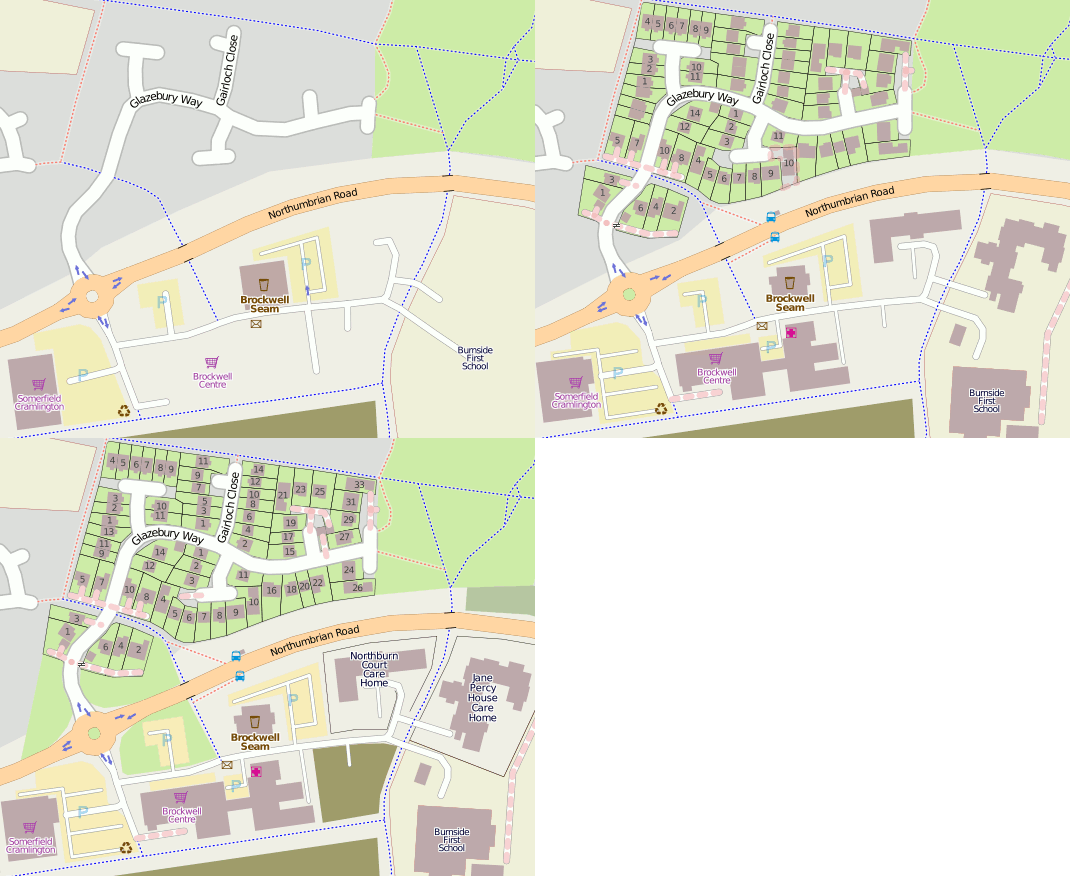
Cramlington
| V・T・E |
| latitude: 55.0923, longitude: -1.5813 |
| Browse map of Cramlington 55°05′32.28″ N, 1°34′52.68″ W |
| Edit map |
|
External links:
|
| Use this template for your locality |
Cramlington is a town in Northumberland at latitude 55°05′32.28″ North, longitude 1°34′52.68″ West.
Developed from Cramlington Village, the town expanded significantly from 1960 with new housing estates and business parks. The grandly named Cramlington Cycleway Network provides good cycling links, however routes can be patchy in some areas. A general lack of understanding that such facilities exist mean the cycleway network is currently underused. It is hoped that the creation of a full map of all cycling routes encourages the use of two wheels, rather than four.
Street level mapping of every estate was carried out by User:James Derrick between January and September 2008 building on the good works of several others.
The high number of post-war cul-de-sac housing estates meant mapping by bicycle following the left-hand kerb was very effective. A mixture of Maemo mapper on a Nokia N800 and Photo Mapping with a Garmin#eTrex_Legend_HCx was used to capture the geolocation data. Linux was used from data collection, to processing and mapping.
Mapping of buildings in Cramlington improved with the donation of Bing mapping which includes good resolution imagery for all of the town. Note features that were well geo-located by physical GPS survey remain unchanged, but inaccessible detail such as building outlines make a dramatic appearance!


