Chennai/Bus Route mapping project/OSM Mapping
Jump to navigation
Jump to search
| This page is no longer tracked. Bus Route mapping project has got a new wiki site. |
Getting involved
- map the bus stops in your area and add it to the bus stop list (see below)
- if you travel on a particular route often, map the bus stops that you know
- check the exiting bus stops in areas that you are familiar with
- if you have good knowled of the mtc network, help in properly classifying the roads and extending the bus network road (mainly outside the city limits)
See Chennai#Getting_Started and Chennai#Mapping for help with the mapping
Roads
Sources
- Chennai Corporation - List of bus route roads Most of these roads within city limits have already been mapped.
- Wikimapia quite a few bus stops are marked on wikimapia. just move to a particular area and search for the keywords 'bus', 'mtc', 'stop' and 'stand'. this could help in locating bus roads
Tagging
The bus route roads in Chennai are presently tagged according to frequency of buses:
highway=motorwayfor high speed highways/expressways with median. These roads are usually serviced by intercity buseshighway=trunkfor arterial roads with median carrying majority of city traffic like Inner Ring Road, Anna Salai. These roads are major bus corridorshighway=primaryfor main roads with very high bus frequency <10minhighway=secondaryfor other roads served by public transport buse but with lower bus frequency >10min- Any other road that is not served by public transport must be tagged with the other tags, see Chennai#Roads
Stops
Sources
- List of Chennai city bus stops obtained from Chennai Corporation
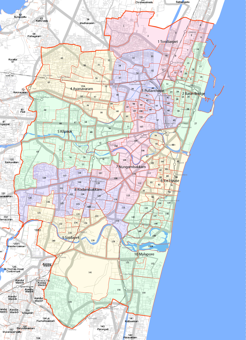
- Map of chennai corporations zones and wards to help in locating the bus stops from the above list
- Wikimapia quite a few bus stops are marked on wikimapia. just move to a particular area and search for the keywords 'bus', 'mtc', 'stop' and 'stand'. IMPORTANT use wikimapia only as a reference and not a primary source of information to copy from. Make sure you have first of knowledge and can guarantee the validity of the data you map into OSM.
- MTC Bus Routesand rab.in to identify terminuses
- Wikipedia list of important MTC route for main bus terminuses and to prioritize route mapping
Tagging
Bus Stops
- highway=bus_stop
- name=X bus stop
- ref=mtcstop# ,refer to bus stop list for details
Bus Terminus
Bus terminuses or bus stands are where a route originates or terminates. Is bigger than a bus stop and has space for temporary parking of buses
- amenity=bus_station
- name=X MTC Terminus