File:Light-houses-osm-jan-2018.jpg
Jump to navigation
Jump to search


Size of this preview: 800 × 442 pixels. Other resolutions: 320 × 177 pixels | 640 × 354 pixels | 1,024 × 566 pixels | 1,280 × 708 pixels | 1,972 × 1,090 pixels.
Original file (1,972 × 1,090 pixels, file size: 117 KB, MIME type: image/jpeg)
Summary
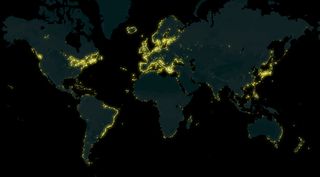
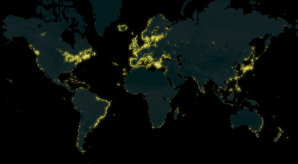
A map of lighthouses all over the world mapped on OpenStreetMap, made by Arun Ganesh (planemad). See also the interactive map on MapBox.
This is a Featured image, which means that it has been identified as one of the best examples of OpenStreetMap mapping, or that it provides a useful illustration of the OpenStreetMap project. If you know another image of similar quality, you can nominate it on Featured image proposals.
Front-page image for week 6 of 2018 (5–11 Feb.).
- Image descriptions
- English : A map of lighthouses all over the world mapped on OpenStreetMap, made by Arun Ganesh (planemad). See also the interactive map on MapBox.
- français : Une carte de tous les phares dans le monde cartographiés sur OpenStreetMap, réalisée par Arun Ganesh (planemad). Voir aussi la carte interactive sur MapBox.
- italiano : Una mappa dei fari di tutto il mondo mappati su OpenStreetMap, realizzata da Arun Ganesh (planemad). C'è anche la mappa interattiva su MapBox.
- 日本語 : 世界の灯台を OpenStreetMap にマッピングした地図。作成者は Arun Ganesh (planemad) さん。MapBox のインタラクティブな地図も参照。
- 中文(简体) : Arun Ganesh (planemad) 利用开放街图资料绘制的全球灯塔地图。另外请见 Mapbox 上的互动地图
- 中文(繁體) : Arun Ganesh (planemad) 利用開放街圖資料繪製的全球燈塔地圖。另外請見 Mapbox 上的互動地圖
- فارسی : نقشهای از تمامی فانوسهای دریایی در سرتاسر جهان که بر روی OpenStreetMap رسم شدهاند، نقشه توسط Arun Ganesh (planemad) تهیه شده است. همچنین صفحه , نقشه تعاملی بر روی MapBox را ببینید.
Licensing
![]()
![]()
![]()
This work is licensed under the Creative Commons Attribution-ShareAlike 4.0 License.
Attribution not specified as a parameter! THIS LICENSE ALWAYS REQUIRES ATTRIBUTION! Use {{CC-BY-SA-4.0|Attribution, typically name of author}} See Template:CC-BY-SA-4.0 for full description this template should be used.
Attribution not specified as a parameter! THIS LICENSE ALWAYS REQUIRES ATTRIBUTION! Use {{CC-BY-SA-4.0|Attribution, typically name of author}} See Template:CC-BY-SA-4.0 for full description this template should be used.
File history
Click on a date/time to view the file as it appeared at that time.
| Date/Time | Thumbnail | Dimensions | User | Comment | |
|---|---|---|---|---|---|
| current | 11:12, 4 February 2018 | | 1,972 × 1,090 (117 KB) | Wille (talk | contribs) | A map of lighthouses all over the world mapped on OpenStreetMap, made by Arun Ganesh (planemad). Interactive map: https://api.mapbox.com/styles/v1/planemad/cjcdq00xd3tg82rpxkl4ojwp5.html?fresh=true&title=true&access_token=pk.eyJ1IjoicGxhbmVtYWQiLCJhIjo... |
You cannot overwrite this file.
File usage
The following 11 pages use this file:
- Featured images/Jan-Mar 2018
- List of featured images/2018
- Tag:man made=lighthouse
- Zh-hans:Featured images/Jan-Mar 2018
- Zh-hant:Featured images/Jan-Mar 2018
- Template:Iotw image/2018-6
- DE:Featured images/Jan-Mar 2018
- FR:Featured images/Jan-Mar 2018
- ES:Featured images/Jan-Mar 2018
- IT:Featured images/Jan-Mar 2018
- JA:Featured images/Jan-Mar 2018