File:Make river landsat.png
Jump to navigation
Jump to search

No higher resolution available.
Make_river_landsat.png (704 × 133 pixels, file size: 194 KB, MIME type: image/png)
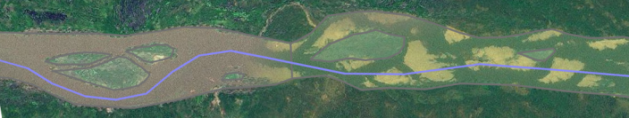
I like to mark riverbanks on its high-water extent, including sandbanks. Therefore non-permanent islands (sandbanks) are also included, only permanent islands are marked.
File history
Click on a date/time to view the file as it appeared at that time.
| Date/Time | Thumbnail | Dimensions | User | Comment | |
|---|---|---|---|---|---|
| current | 22:17, 5 September 2009 | 704 × 133 (194 KB) | Bass (talk | contribs) | I like to mark riverbanks on its high-water extent, including sandbanks. Therefore non-permanent islands (sandbanks) are also included, only permanent islands are marked. |
You cannot overwrite this file.