Ireland/Buildings
OSM Ireland Buildings project
Since November 2019 the Irish OSM community decided to the complete the map of Ireland using the themes of buildings. The buildings are estimated to number abround 5.5 million on the whole island, and at the starting point there were under 900,000 done. There is a tasking manager [1] which has the island broken into 40 parts, counties and cities for mappers to add the buildings.
Useful information
| Current status | Active |
| Tasking manager | https://tasks.openstreetmap.ie/ |
Milestones
Tagging guidance
To avoid tagging building=yes, here are some useful tips on how to decide what a building could be, judging from satellite view:
| tag | Explanation | Picture example(s) |
|---|---|---|
building=house house=detached house=semi-detached house=terraced |
Chimneys are visible. Where feasible, set a house tag to indicate whether the house is detached, semi-detached or terraced. It doesn't really make sense to do this where the building still needs to be split into its individual units. Similarly, because most available "terracing" tools can only split a simple rectangle, it is probably not worth undertaking intricate work on, e.g. rear extensions, until this splitting has already taken place.
Note: this use of the house tag, while common in Ireland, is less common in other parts of the world, where tagging like building=detached or building=semidetached_house is more established. The tagging proposed in this document is intended to better follow the principle that like objects (in this case houses) should have common tagging and be differentiated with more detailed tags. |
|
building=garage |
A service=driveway leads to this small to medium sized building, depending on the angle you can see a wide door, no chimney, a car or boat might be parked outside. |
|
building=shed |
Often not accessible by car (as opposed to building=garage) at the far end of a terrace plot or on a lawn. |
|
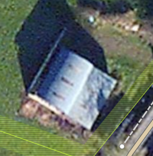
building=farm_auxiliary |
Usually found away from the road as part of a farmyard or isolated buildings with rounded and/or flat roof (e.g. building=barn for hay barns). |
 |
building=hotel |
Mostly deducted by its name=*. Map the grounds of the hotel with tourism=hotel |
|
building=apartments |
Tall residential building with only one main entrance for several apartments. May also have retail outlets on the ground floor. | |
building=residential
|
Building used for human habitation for which a more specific tagging is not appropriate. Generally this would be a building where no additional splitting into units is feasible. |