File:Arxsilex-maptools-standardview.webp
Jump to navigation
Jump to search

Size of this PNG preview of this WEBP file: 283 × 599 pixels. Other resolutions: 113 × 240 pixels | 227 × 480 pixels | 768 × 1,625 pixels.


Original file (768 × 1,625 pixels, file size: 76 KB, MIME type: image/webp)
Summary
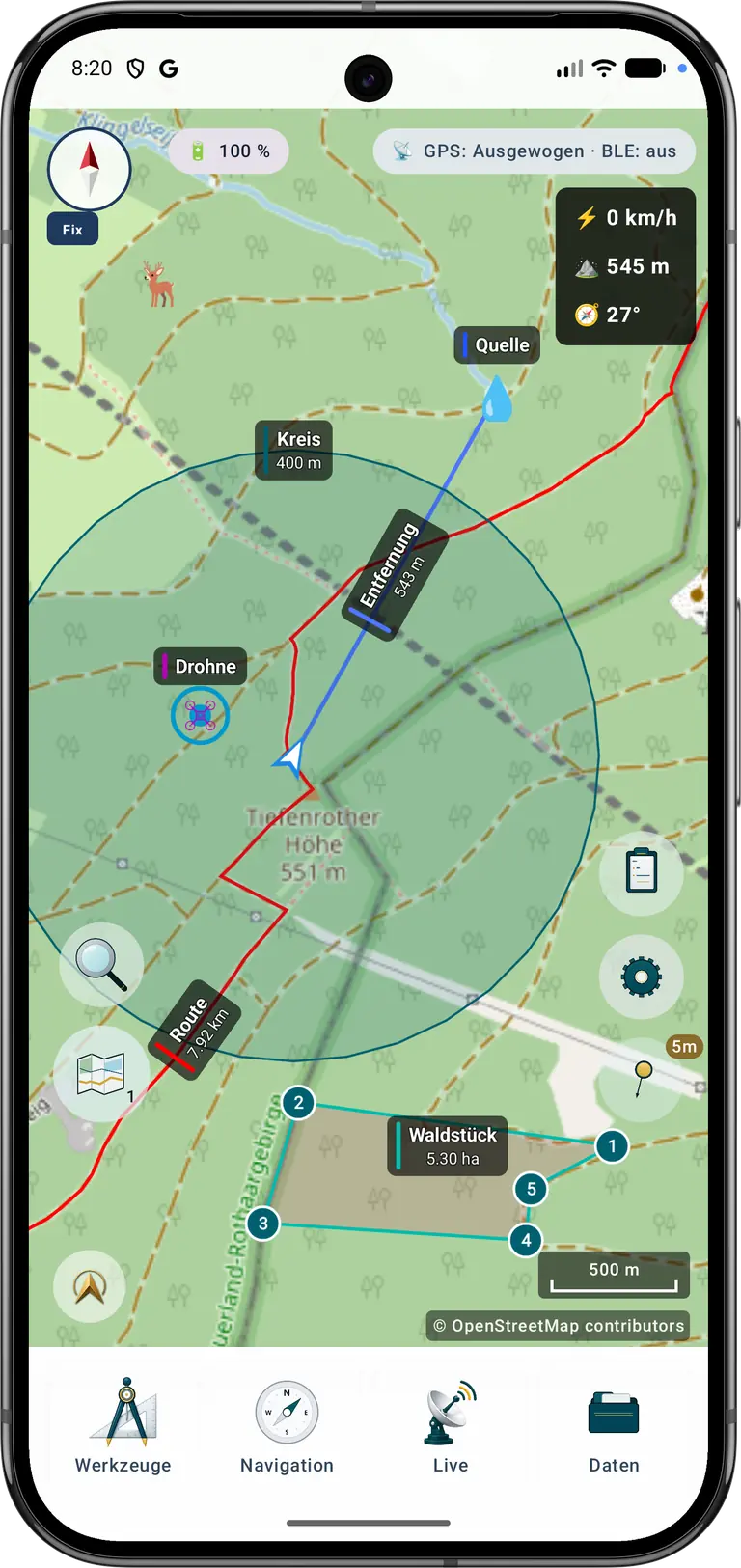
| Description | German-language standard view of the Android application ArxSilex MapTools. The screenshot shows the map workspace with OpenStreetMap map data, GNSS status, current position, a route, markers, a distance measurement, a circle and an area. |
|---|---|
| Author | ArxSilex |
| Source | own work; also published on the official ArxSilex MapTools website |
| Date | 2026-09-03 |
Licensing
- This media file was uploaded by author of the work and its copyright holder.


This work is licensed under the Creative Commons Attribution-ShareAlike 4.0 License.
Attribution: ArxSilex
Attribution: ArxSilex
Licensing


This screenshot contains OpenStreetMap Carto rendering.
The OpenStreetMap Carto map style is made available under the Creative Commons CC-0 1.0 Universal Public Domain Dedication.
- Attribution to the map data:

|
Contains map data © OpenStreetMap contributors, made available under the terms of the Open Database License (ODbL).
The ODbL does not require any particular license for maps produced from ODbL data, produced maps may be subject also to other licences. |
Licensing
- This media file was uploaded by author of the work and its copyright holder.
This work is licensed under the Creative Commons Attribution 4.0 License.
Attribution: * This media file was uploaded by author of the work and its copyright holder.
Attribution: * This media file was uploaded by author of the work and its copyright holder.
File history
Click on a date/time to view the file as it appeared at that time.
| Date/Time | Thumbnail | Dimensions | User | Comment | |
|---|---|---|---|---|---|
| current | 10:02, 3 September 2026 | | 768 × 1,625 (76 KB) | ArxSilex (talk | contribs) | {{Information | description={{LangSwitch |en=German-language standard view of the Android application ArxSilex MapTools. The screenshot shows the map workspace with OpenStreetMap map data, GNSS status, current position, a route, markers, a distance measurement, a circle and an area. |de=Deutschsprachige Standardansicht der Android-App ArxSilex MapTools. Der Screenshot zeigt die Kartenarbeitsfläche mit OpenStreetMap-Kartendaten, GNSS-Status, eigener Position, einer Route, Markern, ei... |
You cannot overwrite this file.
File usage
The following 3 pages use this file:
