File:Mapscii Berlin hack and tell.jpg
Jump to navigation
Jump to search


Size of this preview: 800 × 592 pixels. Other resolutions: 320 × 237 pixels | 640 × 474 pixels | 1,024 × 758 pixels | 1,280 × 948 pixels | 2,048 × 1,516 pixels.
Original file (2,048 × 1,516 pixels, file size: 383 KB, MIME type: image/jpeg)
Description
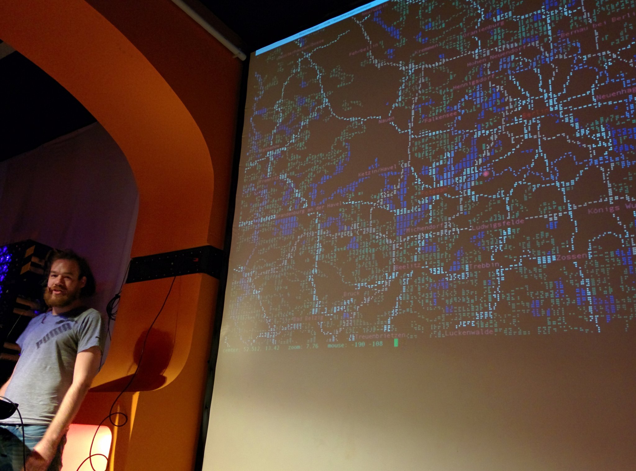
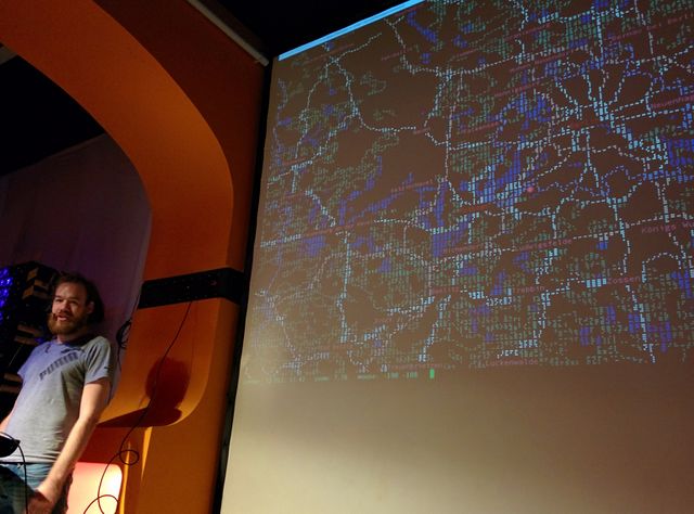
mapscii being presented at Berlin hack and tell].
This is a Featured image, which means that it has been identified as one of the best examples of OpenStreetMap mapping, or that it provides a useful illustration of the OpenStreetMap project. If you know another image of similar quality, you can nominate it on Featured image proposals.
Front-page image for week 19 of 2017 (8–14 May).
- Image descriptions
- English : A presentation of mapscii [1], a zooming panning view of OpenStreetMap rendered as ASCII art (also including Braille dot patterns).
- français : Une présentation de mapscii [2], une vue zoomable et glissante d'OpenStreetMap représentée en art ASCII (inclut également des motifs Braille).
- italiano : Una presentazione di mapscii [3], una vista di OpenStreetMap con zoom e pan resa come ASCII art (include anche simboli Braille).
- 中文(简体) : 将开放街图算绘成 ASCII 艺术风格,可缩放、平移地图 mapscii [4] 的简报 (当然也有包括盲文点阵图案)。
- 中文(繁體) : 將開放街圖算繪成 ASCII 藝術風格,可縮放、平移地圖 mapscii [5] 的簡報 (當然也有包括盲文點陣圖案)。
Licensing
![]()
![]()
![]()
This work is licensed under the Creative Commons Attribution-ShareAlike 4.0 License.
Attribution not specified as a parameter! THIS LICENSE ALWAYS REQUIRES ATTRIBUTION! Use {{CC-BY-SA-4.0|Attribution, typically name of author}} See Template:CC-BY-SA-4.0 for full description this template should be used.
Attribution not specified as a parameter! THIS LICENSE ALWAYS REQUIRES ATTRIBUTION! Use {{CC-BY-SA-4.0|Attribution, typically name of author}} See Template:CC-BY-SA-4.0 for full description this template should be used.
File history
Click on a date/time to view the file as it appeared at that time.
| Date/Time | Thumbnail | Dimensions | User | Comment | |
|---|---|---|---|---|---|
| current | 12:47, 8 May 2017 | | 2,048 × 1,516 (383 KB) | Harry Wood (talk | contribs) | mapscii being presented at [http://berlin.hackandtell.org Berlin hack and tell]] [https://twitter.com/tbsprs/status/856941484234477569 Photo by @tbsprs on twitter] {{CC-by-sa-4.0}} |
You cannot overwrite this file.
File usage
The following 16 pages use this file:
- Featured images/Apr-Jun 2017
- List of featured images/2017
- Mapscii
- Pt:Featured images/Apr-Jun 2017
- Uk:Featured images/Apr-Jun 2017
- Zh-hans:Featured images/Apr-Jun 2017
- Zh-hant:Featured images/Apr-Jun 2017
- Template:Featured image d2
- Template:Iotw image/2017-19
- DE:Featured images/Apr-Jun 2017
- FR:Featured images/Apr-Jun 2017
- ES:Imágenes destacadas/Abr-Jun 2017
- IT:Featured images/Apr-Jun 2017
- RU:Featured images/Apr-Jun 2017
- JA:Featured images/Apr-Jun 2017
- JA:Mapscii