Key:route_marker
Jump to navigation
Jump to search
 |
| Description |
|---|
To depict what kind of information=route_marker it is. |
| Group: tourism |
| Used on these elements |
| Requires |
| Useful combination |
| See also |
| Status: de facto |
| Tools for this tag |
The tag route_marker=* indicates for which purpose or sport a route marker exists in addition to information=route_marker.
| tag | description | example | additional tags for example |
|---|---|---|---|
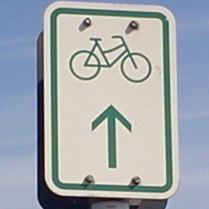
route_marker=bicycle
|
Direction sign which is related to bicycle riding. | 
|
bicycle=yessupport=pole
|
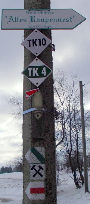
route_marker=hiking |
Direction sign which is related to hiking | 
|
hiking=yes
|
route_marker=mtb
|
Direction sign which is related to mountainbike (mtb) riding. | 
|
mtb=yes
|
route_marker=winter_hiking
|
Direction sign which is related to winter hiking / snow hiking.
Note: This does not mean snowshoeing, but dedicated winter hiking. |

|
support=pole
|
route_marker=running
|
Direction sign which is related to running. | ||
route_marker=ski
|
Direction sign which is related to skiing or snowboarding. | ski=yes
| |
route_marker=horse
|
Direction sign which is related to horse riding. | horse=yes
|
See also
guidepost=*– To depict what type of information=guidepost it is