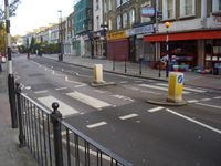
Tag:footway=crossing
| Description |
|---|
| Specifies that the footway is a road crossing. |
| Group: crossings |
| Used on these elements |
| Useful combination |
|
| See also |
| Status: approved |
| Tools for this tag |
|
Use footway=crossing, together with highway=footway, to tag perpendicular sections of footway at a crossing point between two sidewalks tagged as separate way or between the footway-road intersection nodes of a dual carriageway.
If sidewalks are mapped as property on the street and the road is just a single way in OSM, there is no need for a perpendicular way and this tag. See Sidewalks for more details and a comparison of the two tagging approaches.
See also the comprehensive explanation for bicycle way tagging.
See also highway=crossing added on a node where crossing way and road are intersecting.
How to map
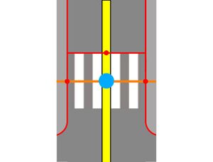
See examples below for usage instructions. Tagging as an area is an optional addition, used in case of applying area:highway=* mapping.
| Case | Way tags | Area tags | Diagrams | Tagging examples | ||
|---|---|---|---|---|---|---|

Pedestrian crossing controlled by traffic signals |
highway=footway | area:highway=* (class of highway which footway is crossing with, eg. area:highway=primary) | ||||

Pedestrian crossing with zebra markings |
highway=footway | area:highway=* (class of highway which footway is crossing with, eg. area:highway=primary) | 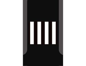
|
| ||
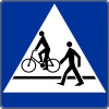
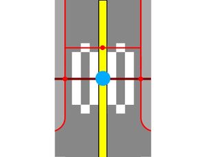
Non-segregated "foot & bicycle" crossing |
highway=path
+ segregated=no |
area:highway=* (class of highway which footway is crossing with, eg. area:highway=primary) | 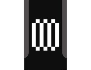
|
| ||

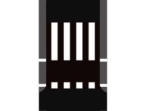
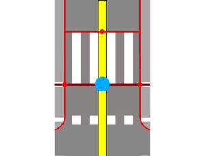
Segregated "foot & bicycle" crossing |
Method 1 (one linear way): |
area:highway=* (class of highway which footway is crossing with, eg. area:highway=primary)
area:highway=* (class of highway which footway is crossing with, eg. area:highway=primary) |
|
| ||
Method 2 (two linear ways):
|

|
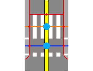
| ||||

Segregated "foot & bicycle" crossing with traffic calming island |
Method 1 (one linear way): |
area:highway=* (class of highway which footway is crossing with, eg. area:highway=primary)
area:highway=* (class of highway which footway is crossing with, eg. area:highway=primary)
|
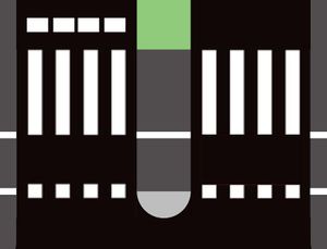
|
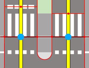
| ||
| highway=path | highway=path | highway=path | ||||
Method 2 (two linear ways):
|

|
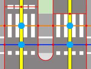
| ||||
| highway=footway | highway=footway | highway=footway | ||||
| ||||||
| highway=cycleway | highway=cycleway | highway=cycleway | ||||
See also
- footway=* - Sidewalk tags for footways
- footway=sidewalk - Sidewalks as separate ways (A footpath on the side of a road.)
- footway=link (Proposal) - To link steps or a sidewalk with a road
- sidewalk=* - Indicates the presence or absence of a sidewalk (pavement/footway)
- cycleway=crossing - Bicycle crossing mapped as separate way
- crossing:markings=* - The existence and style of pedestrian crossing markings
- crossing:continuous=yes - Can be used to mark crossings as the type where the sidewalk continuous uninterrupted and the road crosses it instead.
 associatedStreet / street
| ||||||||||||||||||||||||||||||
