List of featured images/2011

From OpenStreetMap Wiki
Jump to navigation Jump to search
Star image.
edit

These are featured images, which have been identified as the best examples of OpenStreetMap mapping, or as useful illustrations of the OpenStreetMap project.

If you know another image of similar quality, you can nominate it on Featured image proposals.

2011

Week 1
(3–9 Jan.)
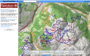
OpenPisteMap.png
English Snowsports maps from openpistemap.org with contours and hillshading. Hitting the slopes this winter? Check out WikiProject Piste Maps. edit
Week 2
(10–16 Jan.)
K9 BountyHunter.png
English OpenStreetMap on British TV (episode The Bounty Hunter in series K-9). edit
Week 3
(17–23 Jan.)
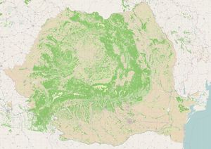
Coverage-zoom-10.jpg
English Romanian landuse – data from EEA comprises 100K polygons, imported to OSM December 2010 edit
Week 4
(24–30 Jan.)
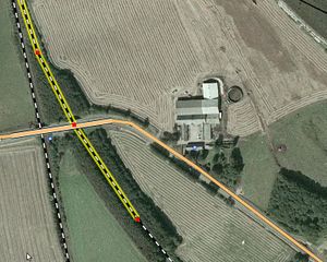
Fugro sample.jpg
English Fugro has shared their 40 cm Danish photography with OpenStreetMap [Thanks to Peter Brodersen and Jonas Häggqvist for making this happen]. See the project page for instructions on tracing it with JOSM/Potlatch2. edit
Week 5
(31 Jan. – 6 Feb.)
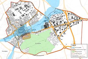
Dicrim.jpg
English Municipality council using Nicolas Dumoulin's map of potential flood, fire, cave-in hazards in a town. edit
Week 6
(7–13 Feb.)
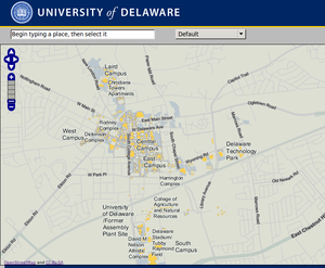
UniDela.png
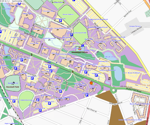
English Campus map uploaded to OSM by University of Delaware (and see the selectable vector buildings on their website!) edit
Week 7
(14–20 Feb.)
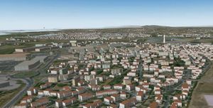
Glosm1.png
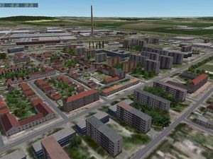
English glosm is a hardware-accelerated OpenGL-based OpenStreetMap renderer, producing 3D renderings like this one of an area of Moscow edit
Week 8
(21–27 Feb.)
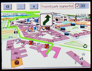
Gosmore in berlin with winCE on transonic 6000.jpg
English Gosmore showing route in a 3D map of Freizeitpark Marienfelde, Berlin edit
Week 9
(28 Feb. – 6 Mar.)
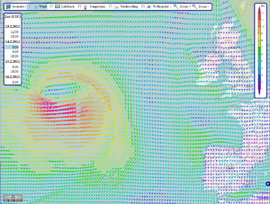
Wetter Atlantiksturm.png
English OpenSeaMap showing a storm in the North Atlantic. Data provided by US and rendered by bluewater-info.net. edit
Week 10
(7–13 Mar.)
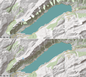
MaperitiveSRTMComparison.png
English Maperitive's custom DEM support showing detail of Viewfinder's Alps SRTM1 DEM compared to SRTM, for Lake Brienz area. (also visible on [1] [2] [3] topo maps) edit
Week 11
(14–20 Mar.)
Saransk-before-after.gif
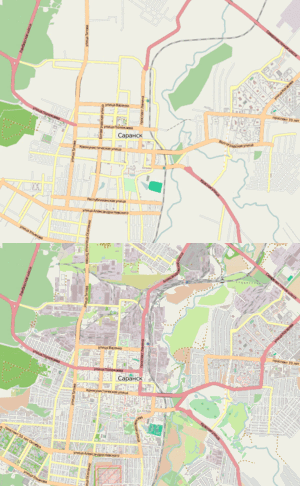
English City of Saransk was mapped in only 50 hours. User osmisto has organized the first Russian online mapping party: it's still cold outside, so almost everyone attended. The pie, animation (4 MB), forum. edit
Week 12
(21–27 Mar.)
Tube time map.jpg
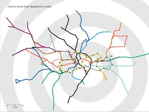
English Tom Carden's Travel Time Tube Map creates isochronic maps of the London Underground edit
Week 13
(28 Mar. – 3 Apr.)
EH12QL driving 800.png
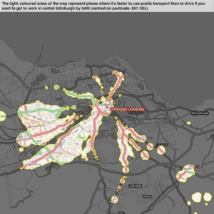
English Example of mySociety's travel maps, showing start-locations from which one type of transport beats another (in this case, public-transport vs car) edit
Week 14
(4–10 Apr.)
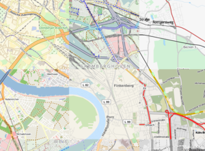
HeidelbergXX.jpg
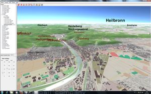
English OSM-3D is now available for all of Europe as virtual globe (pictures, videos) edit
Week 15
(11–17 Apr.)
Saransk online mapping party video screenshot.png
English Video made to show the Saransk map edit
Week 16
(18–24 Apr.)
Osm2xp.jpg
English osm2xp uses OSM data to generate 3d buildings for X-Plane edit
Week 17
(25 Apr. – 1 May)
Openwhatevermap koln.png
English OpenWhateverMap allows viewing a variety of map styles simultaneously, since April 1st edit
Week 18
(2–8 May)
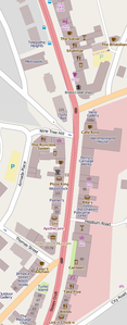
OSM-Stokes-Croft-20110425.png
English Locations in the British news this week: Stokes Croft, The Mall, Kelvingrove Park edit
Week 19
(9–15 May)
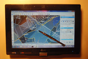
Jt osm tablepc asus101MT.jpg
English Testing JOSM on a touch-screen Asus tablet edit
Week 20
(16–22 May)
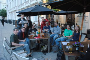
London mapping evenings 2011 Pimlico.jpg
English London/Summer 2011 mapping parties are a sequence of social meet-ups on week-day evenings which may possibly include some mapping. edit
Week 21
(23–29 May)
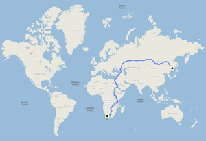
Longest routing.png
English 23448 km from Vladivostok to South Africa. 301 hrs by car. Probably the longest routing available on any public routing engine. From Cloudmade with OSM data. edit
Week 22
(30 May – 5 Jun.)
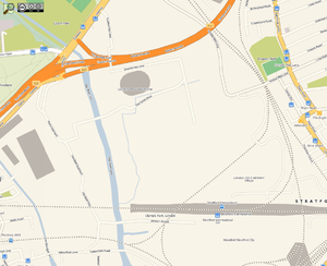
Olympic site osm-cloudmade 2011-05.png
English Olympic sites starting to appear on the map as the buildings are completed edit
Week 23
(6–12 Jun.)
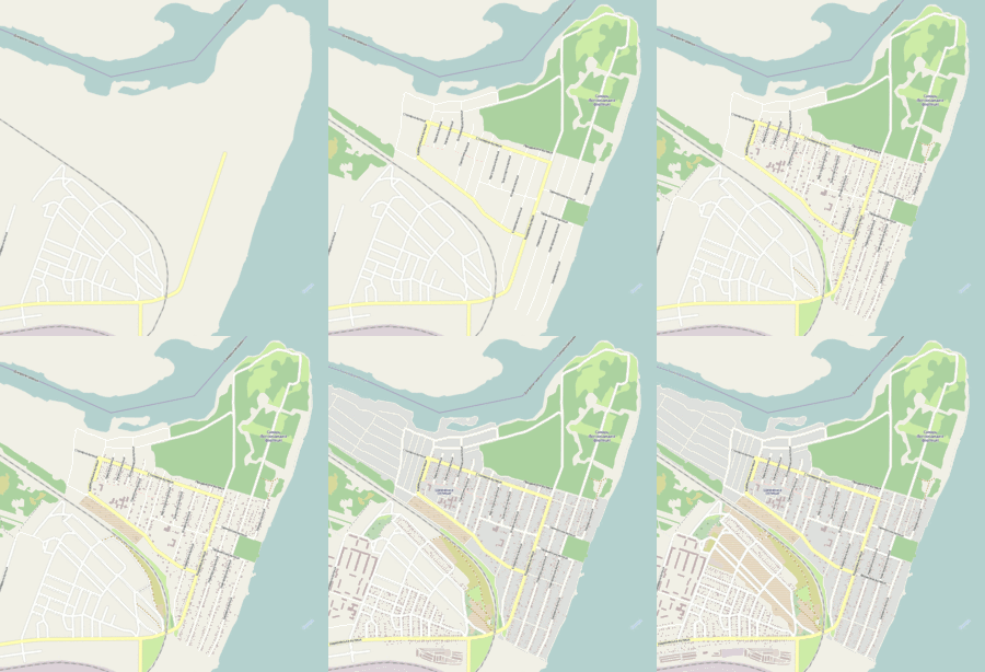
Map-shevchenko.gif
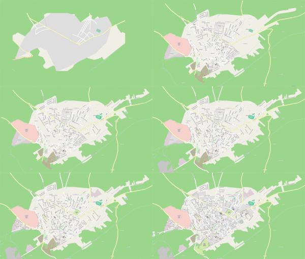
English Animation of mapping Shevchenko village and Pivnichnjy residential area in Dnipropetrovsk edit
Week 24
(13–19 Jun.)
Geobretagne-osm-road-ratio.jpg
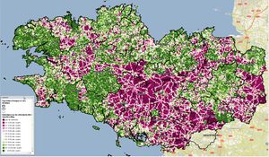
English Comparison against IGN's BD Topo maps of Brittany: Green areas mean OSM has more than half the roads mapped. edit
Week 25
(20–26 Jun.)
XHouseT xht1 04.jpg
English The XHouseT project allows users to use a set of JOSM presets to edit building details, then render OSM data as X-Plane scenery. edit
Week 26
(27 Jun. – 3 Jul.)
Anibaeza.gif
English Animation showing progress of Jaén_Mapping_Party [4] (over 100 people 3h. survey. Organized with Spanish Public Administrations: Diputación de Jaén, Ayuntamiento Baeza, IDEJaén, CNIG, Junta de Andalucía, Universidad de Jaén...) edit
Week 27
(4–10 Jul.)
Picture 24.png
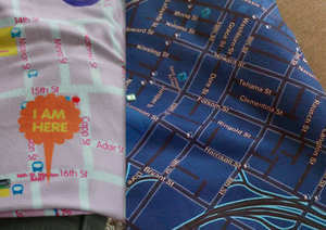
English OpenStreetMap printed on a blanket. Available for a street map near you, in several styles from softcities.net edit
Week 28
(11–17 Jul.)
Mapping with photos.png
English Surveying centre of Penza (Russia) on mapping party ­– Photo mapping is a great way to quickly capture information about POIs, buildings, paths and other details. edit
Week 29
(18–24 Jul.)
SOTMEU11 beers.jpg
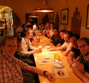
English State Of The Map Europe 2011 attendees also attending a bar in Vienna with big beers edit
Week 30
(25–31 Jul.)
SOTM EU 2011 group photo.jpg
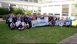
English Group photo from State Of The Map Europe 2011 conference in Vienna edit
Week 31
(1–7 Aug.)
Rowan University.png
English Rowan University's own GIS data in OSM edit
Week 32
(8–14 Aug.)
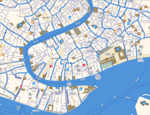
Venice cm color 2011.png
English Detail of Venice map, where all transport is footpaths and canals. (Cloudmade featured style) edit
Week 33
(15–21 Aug.)
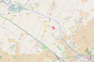
Busway1.jpg
English The Cambridgeshire Guided Busway opened last week, and is mapped in OSM [5] edit
Week 34
(22–28 Aug.)
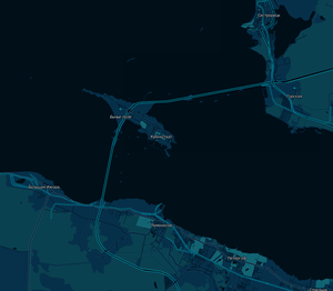
StPDam 2011 dark.png
English The Saint Petersburg Dam was opened last week, and was mapped in OSM edit
Week 35
(29 Aug. – 4 Sep.)
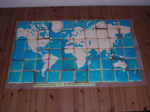
Map-nik-cake-osm-7.png
English Map(nik) cake from the OpenStreetMap 7th Anniversary Birthday party celebration in Toronto. edit
Week 36
(5–11 Sep.)
Osm heatmap example.png
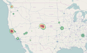
English Your OSM heat map (or this one) shows where you have contributed to OpenStreetMap edit
Week 37
(12–18 Sep.)
Hot group pic sotm11.jpg
English Group photo with some of the Humanitarian OpenStreetMap Team in SOTM11 edit
Week 38
(19–25 Sep.)
Servers-ic-24062011.jpg
English Welcome to see OSM's physical presence edit
Week 39
(26 Sep. – 2 Oct.)
SOTM11 denver.jpg
English State Of The Map 2011 group photo, Denver, USA. 178 people. edit
Week 40
(3–9 Oct.)
Osm kindle-maps.png
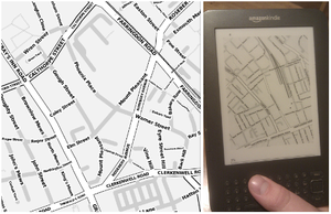
English OSM Kindle maps, rendered in greyscale and optimised for one device edit
Week 41
(10–16 Oct.)
Kachkaev kazeevka.jpg
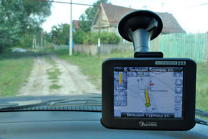
English Kazeevka on a Navitel display (daily data exports). OpenStreetMap is the only map giving door-to-door navigation in some villages in Russia. edit
Week 42
(17–23 Oct.)
20100317 london cycling guide 2.jpg
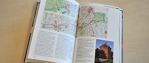
English OSM-based maps are ideal for illustrating guidebooks [6] edit
Week 43
(Error: Invalid time.Error: Invalid time.)
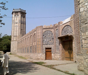
Surkhrod.jpg
English A mapping trip around Surkhrod (Nangarhar, Afghanistan) produces excellent results! edit
Expression error: Unexpected < operator.Expression error: Unexpected < operator.Expression error: Unexpected < operator.Expression error: Unexpected < operator.Expression error: Unexpected < operator.Expression error: Unexpected < operator.Expression error: Unexpected < operator.Expression error: Unexpected < operator.Expression error: Unexpected < operator.