Highway tagging samples/out of town
< Highway tagging samples(Redirected from Tagging samples/out of town)
Jump to navigation
Jump to search
This page shows some real streets and their correct tagging. This is just supposed to be a guide and a help for getting started. Of course you don't have use tags exactly the way they have been used here.
But please do your tagging according to Editing Standards and Conventions and refer to the highway tag usage for exact road classification. For the latter there might also be a separate page for your country.
| Picture | Description/Remarks | Tags | Mapnik/OSM-Carto |
|---|---|---|---|

|
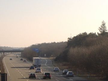
Motorway with 4 lanes and separation | ||
|
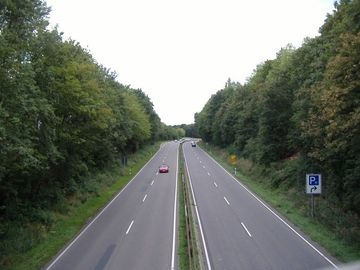
Motorway link with 2 lanes (the smaller road on the right) | ||
|
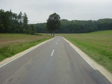
Trunk with 2 lanes and separation | ||
|
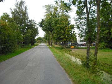
Secondary road | ||
|
Smaller road, maybe tertiary with appropriate administrative status | ||
|
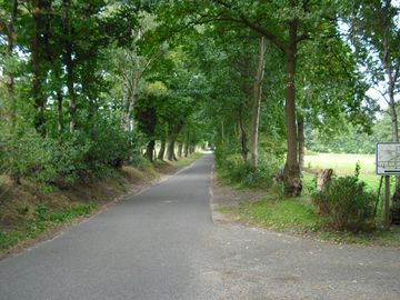
Smaller road without administrative status |
|
|
|
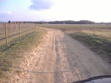
Track, built and used by/for farmers, compact sand | ||
|
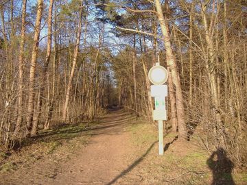
Footway in a forest, with allowance for bicycles | ||
|
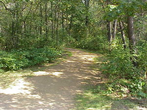
A gravel path enters the forest. Local knowledge indicates that it is a hiking and biking trail. | ||
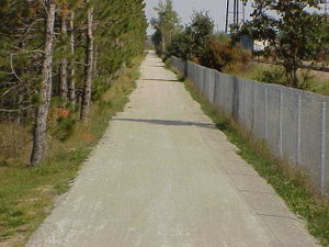
|
3m wide gravel path. Local knowledge [1] indicates that this is a shared-use path (“It is open to bicyclists, hikers, joggers and horseback riders in the spring, summer and fall and to snowmobilers, skiers and dog sledders during the winter...No ATV’s are allowed on the trail.”) | ||
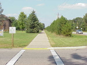
|
2.5m wide asphalt concrete path. It is signed “No motor vehicles,” and local knowledge [2] indicates that it is a shared use path (“...is a hiking and biking trail...”). | ||
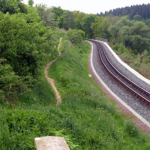
|
Panoramaweg near Malter dam between Dippoldiswalde and Malter. For trained cyclists this path is like a street. | 50.915228 13.659126 | |
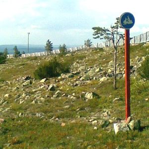
|
A path built and designated for snowmobile use. Legality for foot and bicycles unknown. | 67.789 24.856 | |
|
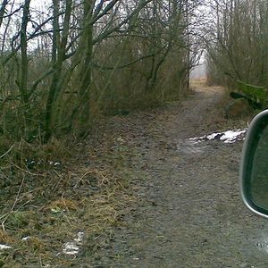
A path with no signs at all but too narrow for motorcars so it's not a highway=track but starts from the end of a track. Allowed and not totally unsuitable for cycling, but not known to be walkable. | 60.1608 24.7205 | |
|
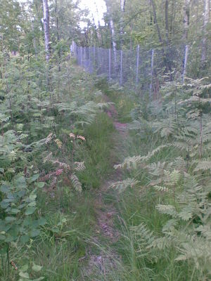
A path through an urban forest as in "there is something used for transport"; walking is possible on dry and non-winter days with a sure foot, but you wouldn't route anyone there. | ||

|
A path on which only cycling is allowed. |
or |
|

|
A path on which motorized vehicles and horses are forbidden.
(In fact, the white background notice explains that law forbids horses on special leisure walking/excercise routes - that aren't signposted - which makes this "mainly for cyclists and pedestrians" and not an agricultural track.) |
60.2361 25.1687 | |
|
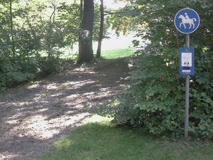
Bridleway |
or |