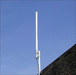
Tag:telecom=antenna
 |
| Description |
|---|
| An antenna for transmitting telecom signals. |
| Group: telecom |
| Used on these elements |
| Useful combination |
| See also |
| Status: imported |
| Tools for this tag |
The tag telecom=antenna was first documented in the telecom project: Telecoms#Antennas. Later, it was used by an import in Belgium done in early 2020 in to add sites with antennas for transmitting mobile phone signals, from the BIPT database. The tag man_made=antenna is a more common, older tag with a similar meaning.
These features were imported as a node ![]() with the tag
with the tag telecom=antenna plus communication:mobile_phone=yes and a fixme=* tag with the value "Maybe slightly offset (can be underground: tunnels, metro); Maybe on a supporting struct. If yes, create it; Guidelines: https://osm.org/wiki/Wikiproject_Belgium/Infrastructure/BIPT_antennas"
+ ref:BE:BIPT=* and sometimes another ref=*. See the import page: Wikiproject_Belgium/Infrastructure/BIPT_antennas
If the antenna is mounted on a structure it could be tagged with: man_made=mast (most common), man_made=tower, man_made=water_tower, highway=street_lamp, man_made=chimney, power=tower. highway=street_lamp, or mapped as a building=*
If the antenna site is:
- found underground (tunnels, metro stations), add
location=underground; - on a roof, add
location=roof; - inside a building, add
location=indoor; - attached to a wall, add
support=wall.
Also see man_made=satellite_dish and man_made=antenna - a more common, older tag with a similar meaning.