Key:place
| Description |
|---|
| The place tag is used on a single node to mark the center of an area where people exist as well as on the whole area to mark its extent. |
| Group: Location |
| Used on these elements |
| Documented values: 31 |
| Requires |
|
| Useful combination |
|
| See also |
| Status: de facto |
| Tools for this tag |
|
Applying to Map Features type: Naming
The "place" key is for tagging a place such as a city, town or village. This enables us to also add important overal information, most crucially the name.
Core Values
- place=city - Population 100.000 and over
- place=town - Population between 10.000 and 100.000
- place=village - Population below 10.000
- place=hamlet
- place=suburb
- place=island
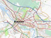
These apply to a node (![]() ), which is generally placed roughly in the middle of the place. Such nodes are typically shown by renderers, as a big label with the place name.
), which is generally placed roughly in the middle of the place. Such nodes are typically shown by renderers, as a big label with the place name.
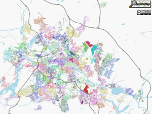
The place key can also apply to an area (![]() ) drawn around the perimeter of the place. This might coincide with administrative borders. See Key:boundary
) drawn around the perimeter of the place. This might coincide with administrative borders. See Key:boundary
Tags used in conjunction
- name=*
- The name of the place. This is generally the main purpose of creating a node with a place tag. Renderers typically display the value in quite a big font, as a label. Note: In addition to 'name', there is a set of variants allowing you to also tag alternative names, and names as used in different languages. See Key:name
- The name of the place. place_name is used for closed ways drawn around the perimeter of a place, while the straightforward "name" tag is used on a central node.
- Values for postal_code must be obtained from sources compatible with the OpenStreetMap License. In the UK, Royal Mail will react badly if it turns out they are derived, even indirectly, from their Postcode Information File (PIF). Indirect sources include telephone directories, and also many websites that are a kind of directory: they almost certainly had access to the PIF or a derivation of it to create their database. For example, BeerInTheEvening.com is probably a tainted source of postcode data for pubs. By contrast, any pub's own website - if it's clearly set up by the pub - would be untainted.
- population=<number>
- The population=<number> key can be used to indicate a rough number of citizens in a given place.
Examples:
- place_name=Sutton Coldfield - References a line segment way or area to a location
- place_numbers=12-28,19-35 - All the inclusive property numbers for the segment or way
- postal_code=B72 - References the common postal code reference for a line segment way or area
Positioning a central place node
The positioning of a place node should be somewhere judged to be central to the place. This is not necessarily the geometrical centre, but central in terms of transport routes / city density. Place nodes might be positioned somewhere to reflect its importance e.g. placing it next to a central monument, or in the middle of the village square. Also to avoid confusion with other (less important) nodes, so not hidden in between a bus_stop and telephone. The position might also be adjusted to avoid rendering trouble (in common rendering cases) e.g. to avoid overlapping with the text of railway station name.
See FAQ#What makes a road belong to a city? for a description how to apply the tag to nodes and areas. Ideally, both shall be used to mark a place.

