File:Flag of the Netherlands.svg
Jump to navigation
Jump to search

Size of this PNG preview of this SVG file: 800 × 533 pixels. Other resolutions: 320 × 213 pixels | 640 × 427 pixels | 1,024 × 683 pixels | 1,280 × 853 pixels.
Original file (SVG file, nominally 900 × 600 pixels, file size: 223 bytes)
This file and its description are from Wikimedia Commons.
Summary
| Description |
Беларуская: Сцяг Нідэрландаў
Nederlands: Vlag van Nederland
Български: Национално знаме на Нидерландия
বাংলা: ওলন্দাজ জাতীয় পতাকা
Čeština: Nizozemská vlajka
Dansk: Hollands flag
Deutsch: Flagge der Niederlande
Ελληνικά: Σημαία της Ολλανδίας
English: Flag of the Netherlands
Esperanto: Flago de Nederlando
Español: Bandera de los Países Bajos
Eesti: Madalmaade lipp
Suomi: Alankomaiden lippu
Français : Drapeau des Pays-Bas
Frysk: Flagge fan Nederlân
Gaeilge: Bratach na hÍsiltíre
Magyar: Hollandia zászlaj
Italiano: Bandiera dei Paesi Bassi
Lëtzebuergesch: Hollännesche Fändel
Limburgs: Vlag van Nederland
Lietuvių: Nyderlandų vėliava
Latviešu: Nīderlandes karogs
Malti: Bandiera tal-Pajjiżi Baxxi
Nedersaksies: Vlagge van Nederlaand
Papiamentu: Bandera di Hulanda
Polski: Flaga Holandii
Português: Bandeira dos Países Baixos
Romani čhib: Styago Olanda
Română: Drapelul Țărilor de Jos
Русский: Флаг Нидерландов
Slovenčina: Vlajka Holandska
Slovenščina: Državna zastava Nizozemske
Svenska: Nederländernas flagga
ไทย: ธงชาติเนเธอร์แลนด์
toki pona: len pi ma Netelan
Türkçe: Hollanda bayrağı
Українська: Прапор Нідерландів
Volapük: Stän Nedäna
ייִדיש: פאן דער האלאנד
Zeêuws: Vlagge van Nederland
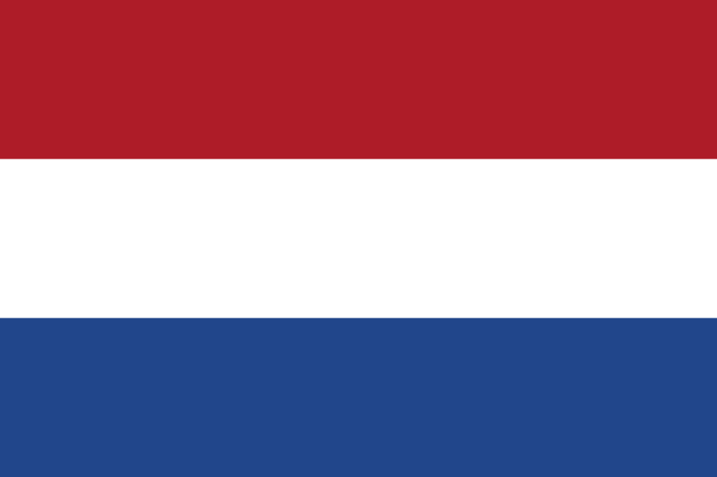
The colours of the flag are calculated from the official Dutch government standards document which describes textile colours called Normblad NEN 3055: :De kleur rood moet zijn helder vermiljoen met de trichromatische coördinaten X=17,2; Y=9,0 en Z=2,6. :De kleur blauw moet zijn kobaltblauw met de trichromatische coördinaten X=7,8; Y=6,8 en Z=26,7. These colour values are defined in the CIE's chromaticity diagram. To convert these values to RGB, a daylight value of D65 was used. The resulting colours are: #AE1C28 (red), and #21468B (blue). |
||||||
| Date | |||||||
| Source | Own work | ||||||
| Author | Zscout370 | ||||||
| Flag colors |
| ||||||
| SVG development | This flag was created with a text editor. Please do not replace the simplified code of this file with a version created with Inkscape or any other vector graphics editor | ||||||
| Source code | SVG code<svg xmlns="http://www.w3.org/2000/svg" width="900" height="600" viewBox="0 0 9 6">
<rect fill="#21468B" width="9" height="6"/>
<rect fill="#FFF" width="9" height="4"/>
<rect fill="#AE1C28" width="9" height="2"/>
</svg>
|
Licensing
| This image of simple geometry is ineligible for copyright and therefore in the public domain, because it consists entirely of information that is common property and contains no original authorship. |  |

|
This image shows a flag, a coat of arms, a seal or some other official insignia. The use of such symbols is restricted in many countries. These restrictions are independent of the copyright status. |
File history
Click on a date/time to view the file as it appeared at that time.
| Date/Time | Thumbnail | Dimensions | User | Comment | |
|---|---|---|---|---|---|
| current | 17:19, 6 April 2010 | | 900 × 600 (223 bytes) | wikimediacommons>Zscout370 | Now I made sure the colors were right: just trying to reduce some code |
File usage
More than 100 pages use this file. The following list shows the first 100 pages that use this file only. A full list is available.
- AND-NL: Todo
- Bestaande geodata hergebruiken
- Bestaande geodata hergebruiken woonplaatsbesluiten
- Contributors
- Cs:Jednoduché 3D budovy
- Et:Key:highway
- Europe
- Fietsroutes
- International highway classification equivalence
- Key:carriageway ref
- Key:designation
- Key:isced:level
- Key:payment:*
- Key:zone:traffic
- Ko:Tag:highway=motorway
- Ko:Tag:highway=trunk
- List of territory based projects
- NUTS and LAU
- Netherlands Mapping Parties 2008
- Netherlands Mapping Parties 2009
- Netherlands Mapping Parties 2010
- OSM tags for routing/Maxspeed
- OpenRailwayMap/Tagging in Netherlands
- OpenStreetMap in the media/2008
- OpenStreetMap in the media/2009
- Past Events 2013
- Past Events 2014
- Past Events 2015
- Past events 2019
- Pl:Schemat tagowania budynków 3D
- Planet.osm
- Press Contacts
- Pt:Highway:International equivalence
- Pt:Tag:boundary=administrative
- Research
- Servers
- Sq:Key:highway
- State of the Map Europe 2011/Who's going?
- Tag:bicycle road=yes
- Tag:boundary=administrative
- Tag:highway=motorway
- Tag:highway=primary
- Tag:highway=trunk
- Tag:motor vehicle=destination
- Tag:route=train
- Taginfo/Sites
- The Netherlands
- WikiProject Metro systems
- WikiProject Nederland AdministratieveGrenzen
- WikiProject Nederland Vrije tijd
- WikiProject Nederland Wandelroutes
- WikiProject Nederlandse Fietsroutes
- WikiProject Netherlands/Uitwijkroute
- WikiProject Netherlands Railways
- User:AnkEric
- User:Cartinus
- User:Cracklinrain
- User:Dhrasmus
- User:Emvee
- User:Fabiando
- User:GercoKees
- User:Grin
- User:Ivansanchez/sandbox
- User:JJJWegdam
- User:Jan van Bekkum
- User:Kars
- User:Kiwipferd
- User:Mdeen
- User:Milovanderlinden
- User:Pigsonthewing
- User:Polyglot
- User:Protoxenus
- User:Skippern/World
- User:Sybren
- User:TillN
- User:Vanyok
- Template:Countries of Europe
- Template:ES:Regiones que hablan español
- Template:Highway:International equivalence
- Template:TaginfoLinks
- Template:TaginfoLinks/doc
- Template:User The Netherlands
- Template:Wikiproject Nederland
- Category:Dutch tagging guidelines
- DE:Bicycle
- DE:Simple 3D Buildings
- FR:Contacts pour la presse
- FR:Highway:International equivalence
- FR:Tag:boundary=administrative
- ES:Comunidad hispana
- IT:Contributors
- IT:Key:boundary
- IT:Key:highway
- NL:Cycleway
- NL:Overzicht Nederlandse Verkeersborden
- NL:State of the Map Europe 2011
- NL:Tagging van Nederlandse wegen
- RU:Key:highway
- JA:Key:payment
- JA:Planet.osm
View more links to this file.